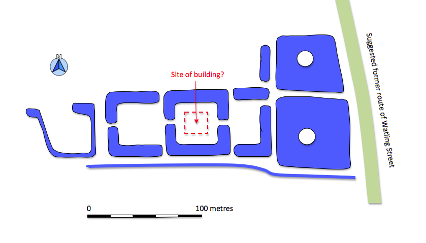
To get started here is a sketch plan after one published in an article in Country Life from 1933 by J.C. Rogers
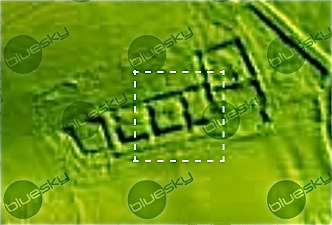
and here's a more complex view copied under licence from Bluesky EA LiDAR - © Environment Agency
During the morning visit I put a new iPad to the test secure, hopefully, in it's military grade casing, it passed the waterproof test.
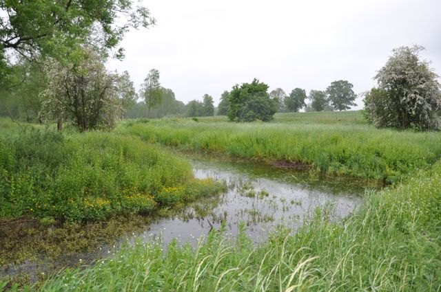
This is a view of the southern most of the two rectangular ponds looking south westish, unfortunately it couldn't quite work out where it was... oh well..
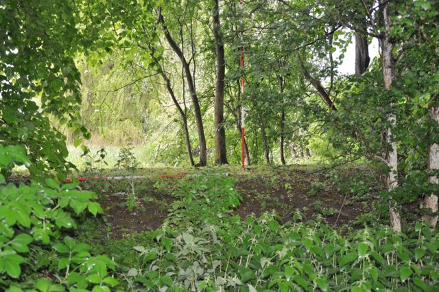
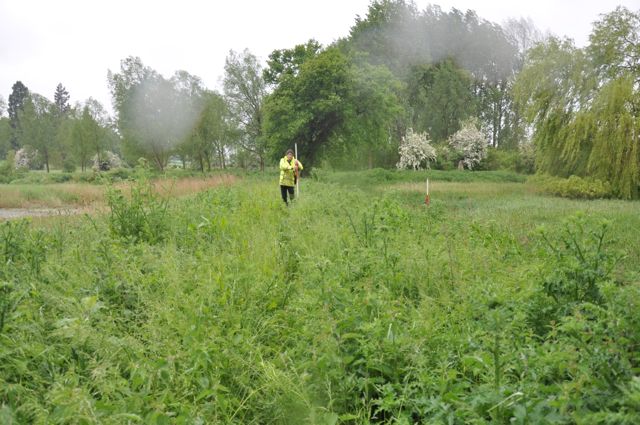
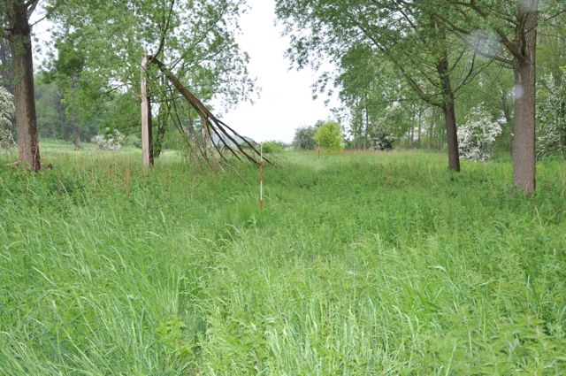
The bank along the east side of the complex looking west. Looking west along the bank between the two rectangular ponds.
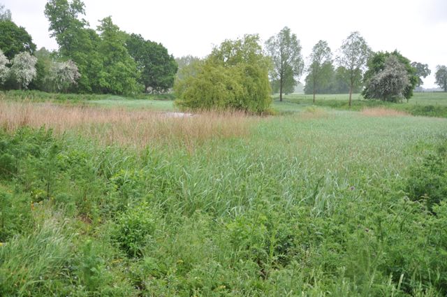
Looking south east across the southern most rectangular pond plus island in the middle distance. The eastern most of the 'C' moats, north east corner looking south west,
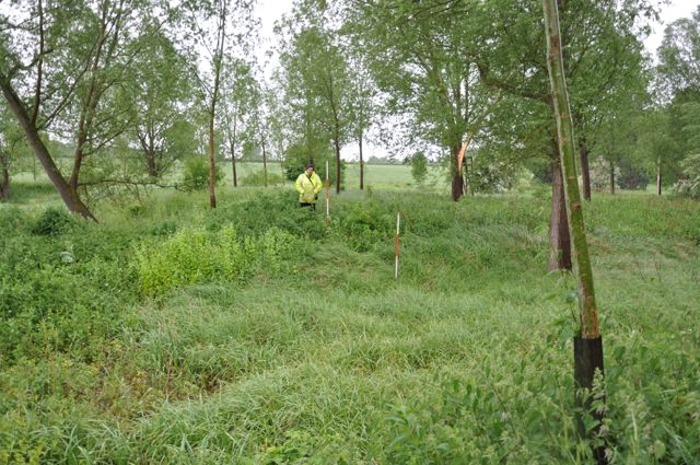
The northern causewayed approach to the easternmost 'C' moat with the Centre of central moat with rectangular depression, possible site of banqueting house
causeway to the central moat to the right, looking south. view looking west.
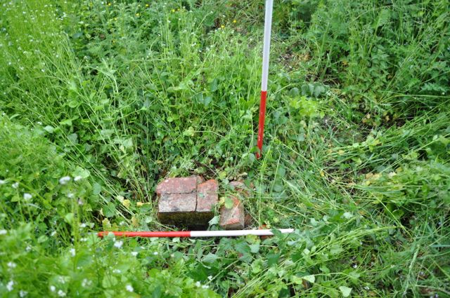
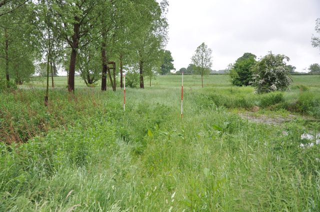
South west corner of central moat looking south east. Lump of brickwork looking fairly recent but situated on the southern causeway of the westernmost 'C' moat, looking south
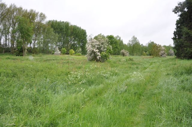
The western arm of the westernmost moat looking north. Looking East North East across the whole site with trackway and possible stream course in the foreground.
... and here are Sir Francis's plans in his own words:
| July 28, 1608. " To give directions of a plott to be made to turn ye pond yard into a place of pleasure, and to speak of them ton my L of Salisbury. The ground to be enclosed square w a bricke wall, and frute trees plashed upon it, on the owt side of it to sett fayre straite byrches on 2 sides and lyme trees on 2 sides, some x foote distante from the wall, so that the wall may hide most of the shaft and onely the tufts appear above. From ye wall to have a waulk of some 25 foote on a higher levell. Under that waulke some 4 foote to have a fyne litell stream rune upon gravell and fyne peppell to be putt into ye bottome, and of a yard and a half over, wch shall make the whole residue of the ground an Iland; the banque to be turfed and kept cutt; the banq I mean of the ascent to ye upper waulk : no hedg hear but some fyne standards well kept. Within that stream upon a levell to make another waulk of 25 foote, the border to be sett wth flagges of all sortes of flower de Luces and lylyes. All the ground within this waulk to be cast into a laque, wth a fayre raile wth Images gilt round about it and some low flowers specially violetts and strawberies along qu. Then a fayre hedg of Tymber woorke till it touch the water, wth some glasses coloured hear and there for the ey. In ye middle of the laque where the howse now stands to make an Iland of 100 broad : an in the middle thereof to build a howse for freshnes with an upper galery open upon the water, a terace above that, and a supping roome open under that; a dynyng roome, a bedd chamber, a cabanett, and a roome for musike, a gar-den; In this Ground to make one waulke between trees; The galeries to cast Northwards; Nothing to be planted hear but of choyse." |
I think it's fair to say that it didn't quite work out in that way
although a number reconstructions have been attempted on the basis of
this description they are quite hard to reconcile with what's on the
ground today. What is clear from the opening line is that this is an
adaptation of an existing site. John Aubrey was impressed when he
visited the site in 1656 and noted:
| The figures of the Ponds were thus: they were pitched at the bottomes
with pebbles of severall colours, which were work't in to severall
figures, as of Fishes, etc., which in his Lordship's time were plainly
to be seen through the cleare water, now over-grown with flagges and
rushes. If a poore bodie had brought his Lordship half a dozen pebbles
of a curious colour, he would give them a shilling, so curious was he
in perfecting his Fish-ponds, which I guesse doe containe four acres.
In the middle of the middlemost pond, in the Island is a curious
banquetting-house of Roman architecture, paved with black and white
marble; covered with Cornish slatt, and neatly wainscotted |
He even attempted a plan....
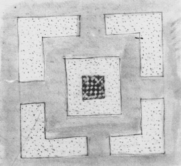
... well you can sort of see where he was coming from.
In short the whole site is ripe for a detailed large archaeological survey, the first requirement being an accurate large scale plan with associated measured profiles. We will be back.
An initial and indeed superficial examination makes a number of points clear:
- This is a multi-period site with medieval antecedents, a flush of development in the seventeenth century and possibly some later adaptations.
- There will certainly be remains of the central building described as a banqueting house, some of the walling may be quite close to the surface.
- Other structures, probably to do with water management, are hinted at amongst the humps and bumps detectable below the vegetation.
- The various causeways seen on the ground and shown on the early s estate maps are puzzling in that they dip significantly below the surrounding levels, could they have been built structures now partially collapsed rather than solid earthworks?
- There are other associated features which show up on LIDAR which merit investigation
In short the whole site is ripe for a detailed large archaeological survey, the first requirement being an accurate large scale plan with associated measured profiles. We will be back.