As already
noted,
the medieval gardens and park at Hesdin in northern France were
enormously important and are of particular interest because of the
extensive water works and use of automata. Our second visit was
occasioned by an invitation from independent documentary film maker
Olivier Segard, whose previous work had included a movie about the medieval composer Guillaume Dufay (1400-1474), in order to contribute to a programme he was making about medieval gardens. It was clear from our last visit
that the area immediately around the castle had been fairly
comprehensively leveled by modern agriculture but there had been
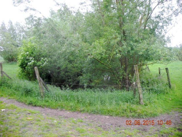
interesting surface indications of earthworks in a field in the northern
part of the park along the line of the River Ternoise. This
marshy location was generally reckoned to be the site of a remarkable
construction known as the Marsh Pavilion which had been the centre for
entertainment and hunting in this part of the park. It is
particularly well known because of a painting of what purports to show
a wedding celebration in front of this edifice. Unfortunately this is
an image with a complex history and one has to be excessively careful
about taking particular features at face value.
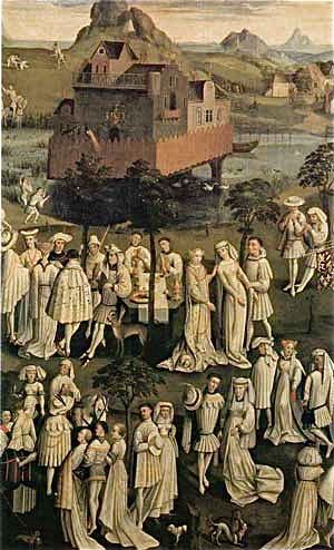
Could this be a picture of the Marsh Pavilion? Mariage de Philippe le Bon, Janvier 1430. Versailles collection MV5423
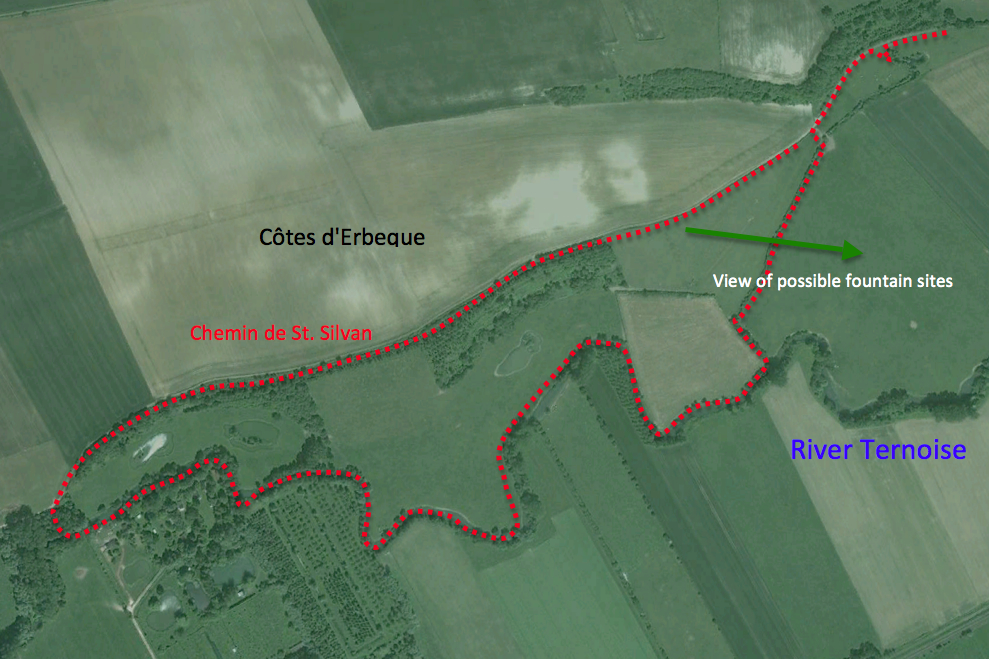
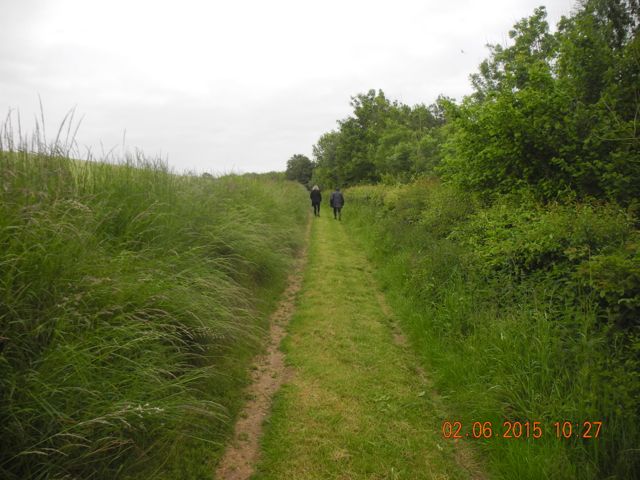
The route walked... clockwise.
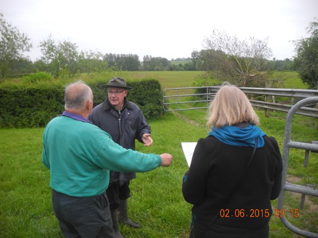
Discussions underway regarding our route.
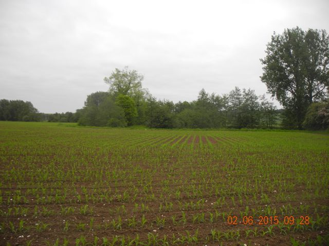
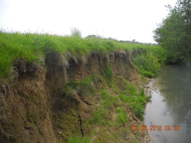
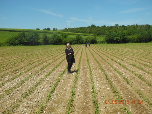
The first field we walked through had been ploughed and maize was sprouting, view looking south towards the Ternoise and here is the river bank actively being eroded, view looking east.
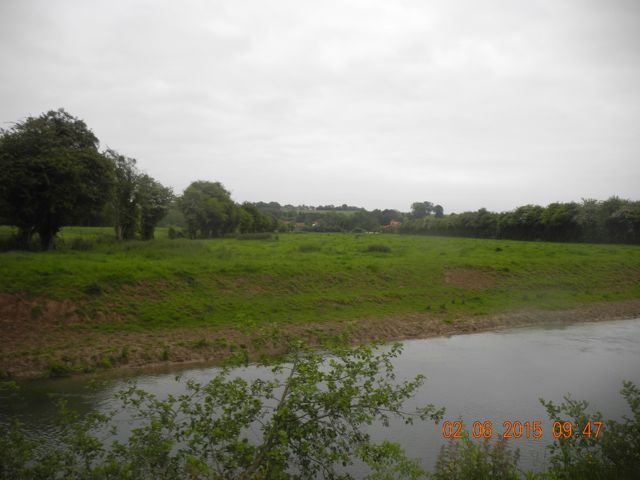
View looking east on the north bank of the Ternoise at the Further along the river, looking south showing the widening of the river
point at which Van Buren suggested the Pavilion was located at the point opposite to where Lion had suggested the Pavilion had been.
View looking north towards where Lion suggested the Pavilion might have been with the bluff backing it.
Verna and M. Petit indulge in gymnastics just before the bullocks arrive to protest.
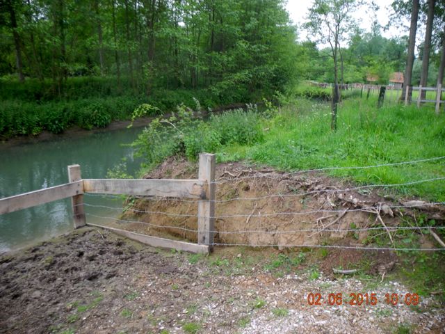
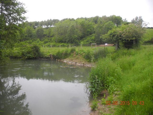
A section through the river bank at another cattle watering hole, view looking west
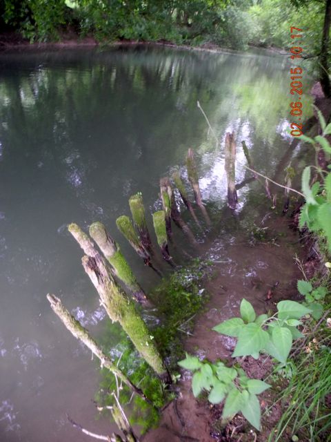
Eroded pilings that may have supported an earlier bridge abutment, view looking west.
Looks almost good enough to eat. The walk along the Chemin de St. Silvan looking east.
Our view looking south east across the valley with patches of stone and a linear feature.
One of the bottomless pits, view looking south.
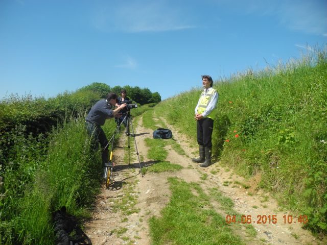
Unloading the car and thew talking begins somewhere on the Chemin de St.Silvan.
The excitement mounts as compass bearings are taken prior to tracking out across the field.
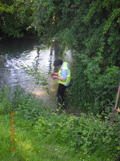
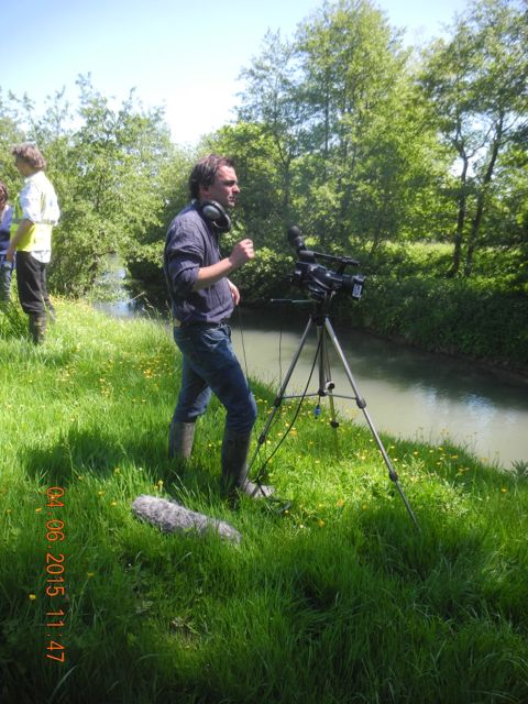
Fishing for bricks and Olivier films atmospheric shots of the river running by.
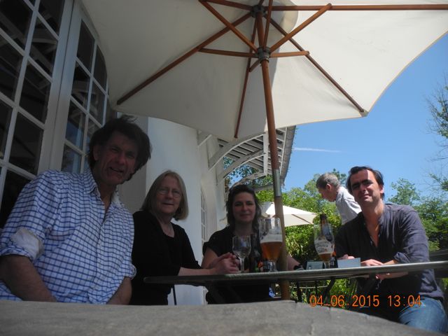
Gathered round the table for lunch followed by further thoughts on the gardens at Hesdin.
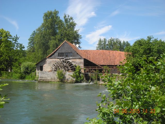
The Moulin de Maintenay view from the south.
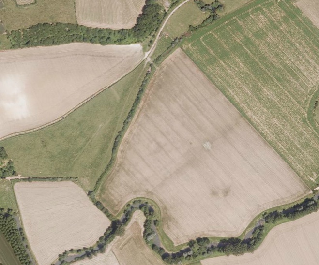
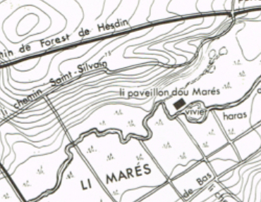
Aerial photo plus interpretation from the Geoportail web site
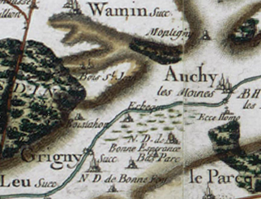
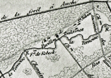
The Ternoise valley from the Cassini map of the eighteenth century.
Could this be a picture of the Marsh Pavilion? Mariage de Philippe le Bon, Janvier 1430. Versailles collection MV5423
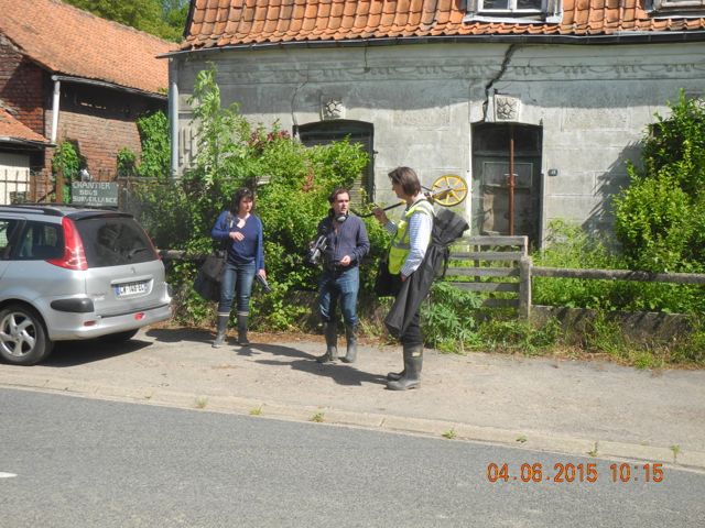
Prior to the
filming we had agreed with the mayor of Le Parcq, M. Petit that he
would help us with accessing the fields next to the river, last time we
had only viewed them from the footpath. When we arrived at the mairie
it was in the course of heavy restoration and M. Petit was summoned
via mobile phone from his temporary office at La Poste. He very kindly
came to meet us and took us down and out along the Chemin de St.
Silvan. here we were met by M. Virny, the local farmer who was not
only able to steer us clear of bulls but also give us special
permission to walk out across his fields and follow the north bank of
the Ternoise. He also gave us several interesting snippets of
information concerning other remains in the valley.
The route walked... clockwise.
Discussions underway regarding our route.
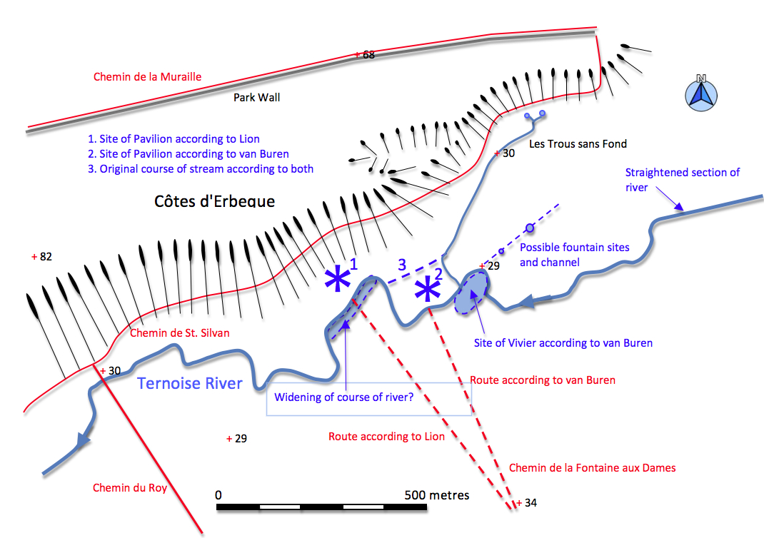
The main point I wanted to investigate
was where the Marsh Pavilion had been situated. The accounts from the
late thirteenth and early fourteenth centuries had indicated it was
close to a vivier
or fishpond which had a paved bottom and which was
partially blocked up stream and down stream by a barrier of branches to
pen the fish in. there is some confusion, presumably created by an over
reliance on the painting, as to whether or not the structure was built
on piles in the pond itself. However, other references at the time
suggest that there were ditches around the site that could be drained
to facilitate repairs so it may have been moated.We do know that it was
approached by a bridge across the river from the south which had been
decorated with famous automata of nodding and waving monkeys clad in
badger fur. Unfortiunately the entire complex had been burnt down by
the English in 1355 and these features had not been replaced. Two
commentators who had attempted to map the location of
tfeatures in the park had varying interpretations. Lion writing in 1906
had placed
it at the end of a route known as the Chemin de la Fontaine aux Dames and backing against a steep bluff to the north. Van Buren in developing his work placed the location further east.
Hunt the Pavilion: Lion 1906 and van Buren 1983
Hunt the Pavilion: Lion 1906 and van Buren 1983
The first field we walked through had been ploughed and maize was sprouting, view looking south towards the Ternoise and here is the river bank actively being eroded, view looking east.
View looking east on the north bank of the Ternoise at the Further along the river, looking south showing the widening of the river
point at which Van Buren suggested the Pavilion was located at the point opposite to where Lion had suggested the Pavilion had been.
View looking north towards where Lion suggested the Pavilion might have been with the bluff backing it.
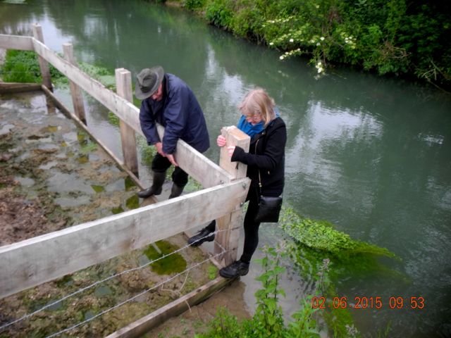
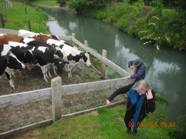
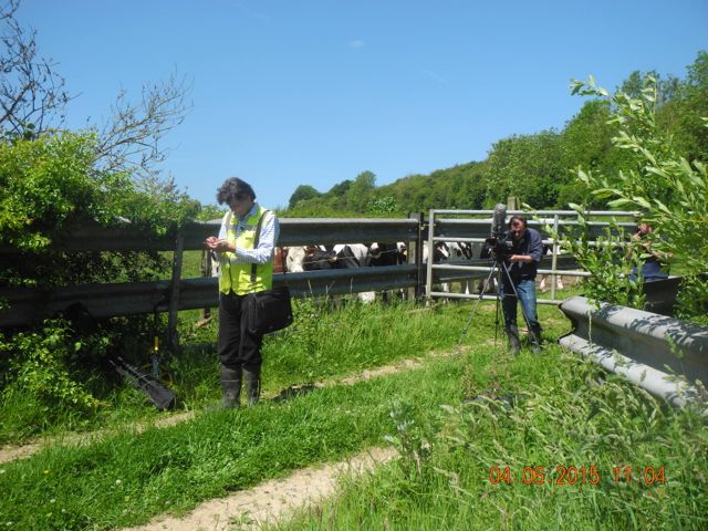
Despite M. Virny's assurance the
walk along the river bank was not without its challenges, apart from
the bank itself eroding and the ground being very uneven in places we
also had to contend with inquisitive / aggressive bullocks who were all
too interested in our comings and goings. This resulted at one point in
an athletic exercise to circumvent the place at which a fenced off area
came right down into the water so the cattle could drink. Later on we
had to drive them away so we could roll under the fence and make our
way to the next section of the river bank. We pushed on a little
further looking for traces of an earlier bridge which may have carried
the Chemin du Roy across the
river but the eventual location seemed a little too far to the west
when we finally found it. When we were ready to cut back to the
footpath we still had to wade through chest high nettles to reach it.
Verna and M. Petit indulge in gymnastics just before the bullocks arrive to protest.
A section through the river bank at another cattle watering hole, view looking west
Eroded pilings that may have supported an earlier bridge abutment, view looking west.
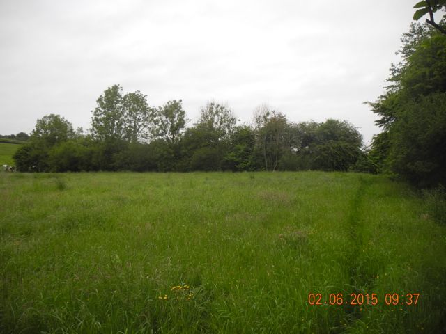
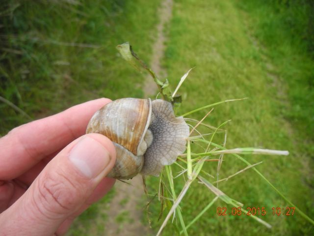
The final stage of our journey took us back along the Chemin de St. Silvan,
a terraced trackway which was inhabited by delicious looking snails.
The trackway itself was presumably ancient and was cut deeply into the
valley side as we approached the point at which it dipped back down
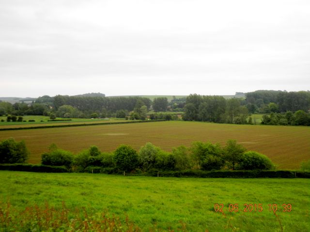
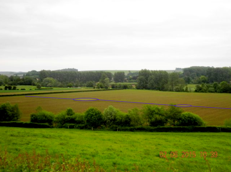
into the valley we were rewarded by a semi-aerial view of the ploughed
field we had walked through an hour or so before. This revealed a
couple of light patches of crushed stone linked by a greener band, this
linear feature perhaps marking the course of an earlier channel or
conduit. Given that the accounts write of the meadows surrounding the
Pavilion being littered with pools and fountains this looked promising. We finished off pretty well back where we started but I hopped over a stile to take a closer look at the Trous sans Fond (Holes without bottoms / bottomless pits?) which were a group of linked springs that fed a stream which defined
the northern margin of the ploughed field before making a right angle
turn to the south to run into the Ternoise. Both Lion and van Buren
suggest on their maps that this originally continued straight on
eventually meeting the river further west but I could see no evidence
of this on the ground.
Looks almost good enough to eat. The walk along the Chemin de St. Silvan looking east.
Our view looking south east across the valley with patches of stone and a linear feature.
One of the bottomless pits, view looking south.
M. Petit was kind enough to invite
us back to his house for refreshments before we got on the road to
Lille with lots to think about. We had been invited to stay at Au Paravent,
a guest house kept by Olivier and Isabelle his partner in the town of
Roubaix just to the north of Lille. This was a wonderful place to stay,
a historic house with period fittings and loads of character. The
following day we had what you might describe as a script conference
where Olivier explained what he was trying to achieve with his
documentary and we thrashed out a plan for filming the following day
before heading into Lille via the tram to see the sites. On
Thursday the slightly delayed summer seemed to have arrived and
we drove down to the now familiar corner on the Auchy to Wamin road to
unload. We did several pieces to camera on the high ground overlooking
the valley then, with a nod to the dramatic, filmed my first view of
the features we had observed from afar in the ploughed field.
Unloading the car and thew talking begins somewhere on the Chemin de St.Silvan.
The excitement mounts as compass bearings are taken prior to tracking out across the field.
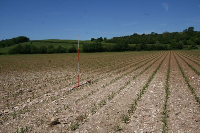
The largest of the features spotted
from the trackway was really quite impressive. It consisted of an area
of chalk rubble (the local building stone) some of it clearly had been
dressed or worked in other ways and a large amount of ceramic material.
This seemed to be exclusively in terracotta and without a doubt some of
it represented pipework whilst other fragments could have come from
large vessels such as flower pots or planters. Unfortunately we had no
easy way to date the material on the ground. It was certainly handmade,
at least those pieces I picked up were but late thirteenth, fourteenth,
fifteenth or even nineteenth century dates were all possible. It would
have been really helpful to spot some undeniably medieval material here
or anywhere else in the field but it was not to be had. There are two
main possibilities here, either we are looking at the site of a late
medieval fountain, destroyed and the remains scattered and shattered by
the plough or else we have the location of a circular depression,
possibly pool, which has been filled with debris from elsewhere any
time up to the last century. Whatever the case it seems significant.
The second scatter of stone was free of any evidence of ceramic pipe
ware but did include fragments of dressed stone and one is reminded of
the description of there being a small stone tower as the centrepiece
of one of the garden areas next to the MarchP avilion. We took care not
to remove any material from the site but would certainly like to see
the local history group taking it on and perhaps seeing if they could
organize some systematic field walking and recording for the site with the support of a local archaeologist. We
also filmed next to the Ternoise where I examined a deposit of bricks
and large pebbles at the confluence between the stream and the river.
The bricks I fished out were handmade but did not look medieval.
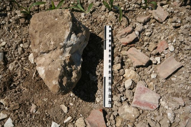
The larger circular patch of shattered stone, looking north and a detail of one of the shaped blocks and a selection of ceramics (Photos by Isabelle Baudelet )
Verna stands close to the centre of the smaller scatter of chalk blocks, view looking north.
The larger circular patch of shattered stone, looking north and a detail of one of the shaped blocks and a selection of ceramics (Photos by Isabelle Baudelet )
Verna stands close to the centre of the smaller scatter of chalk blocks, view looking north.
Fishing for bricks and Olivier films atmospheric shots of the river running by.
All of this, plus dreadful traffic
coming out of Lille earlier in the day, meant we were running a little
late for lunch which we had at the Crêperie of the impossibly picturesque Moulin de Maintenay.
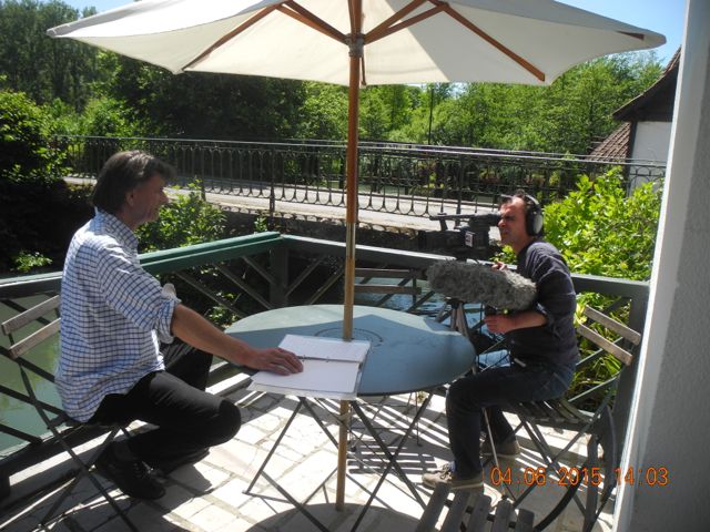
After lunch we shot further 'talking head' material as I attempted to
fill in those parts of the story we had not covered out in the field.
Gathered round the table for lunch followed by further thoughts on the gardens at Hesdin.
The Moulin de Maintenay view from the south.
The question remains what
conclusions can we draw from spending a couple of days in the valley of
the River Ternoise? Back home I took a look at the material on the area
on the excellent French Geoportail site.
They had aerial photo coverage of the field immediately after ploughing
which showed the linear feature and the larger stone patch very well
plus a possible link to the springs to the north, there are a couple of
other dark patches in the field which could repay exploring. rather
alarmingly the next field to the west seems also to have been ploughed
and appears to show absolutely nothing! This tends to put paid to van
Buren's suggestion as to a location for the Pavilion although there is
another possibility. I know from experience at Bordesley Abbey that
water meadows when left untended can accumulate quite remarkable depths
of silt through centuries of flooding. Is it possible that the features
showing up are a quite late and that the medieval landscape is buried
under a metre or two of silt? Certainly the Cassini map from the
eighteenth century shows extensive marshland to the south of the river.
On the other hand I examined all those sections of river bank which had
been cut into by the meandering river to a depth of up to 2 metres
looking for traces of buried landscapes and found nothing.
Aerial photo plus interpretation from the Geoportail web site
The Ternoise valley from the Cassini map of the eighteenth century.
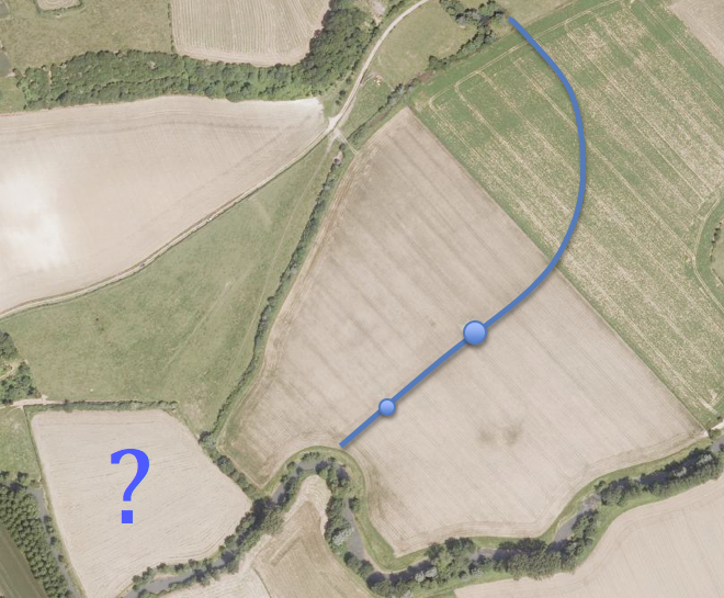
So to sum up, and the diagram below will help a little with this, from east to west:
- The river has been canalized to the west of Auchy, this is
presumably linked to the milling activity which are much in evidence in
the village today and also shown on the Cassini map.
- I could see no evidence on the ground for the vivier in the location suggested by van Buren who indicates that the northern margin of this pool is defined by the current curve in the river. It seems clear from the very active erosion that is going on that the river may have shifted its course significantly over the past few centuries. large quantities of medieval pottery recovered from further downstream and now in the museum in Berck opens up the possibility that some garden features may have been completely washed away.
- Evidence from aerial photography and on the ground suggests we may have potential garden features to the south of the springs at Les Trous sans Fond. These need further examination
- I could see no evidence on the ground to support either of the two suggestions for the site of the Pavilion, the lack of any indications of buried features on van Buren's site is especially concerning, nor is there evidence for an alternate route for the stream from the springs.
- There are hints of widening of the river south of Lion's suggested location and the alignment with the Chemin de Fontaines aux Dames and the relationship with the bluff behind and the ancient Chemin de St. Silvan which seems to look down on the site could be significant
- Local informants point out the location of bridge and suggest the former existence of a manor associated with the Chemin du Roy.