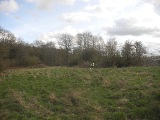
Still going strong, the finds tent after a little repair and a tidy up. Peter and Luke plotting the ups and downs of the ridge and furrow.
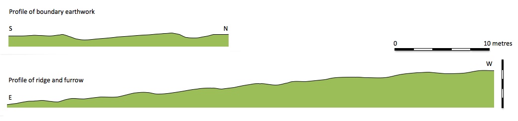
Profiles of earthworks drawn up.
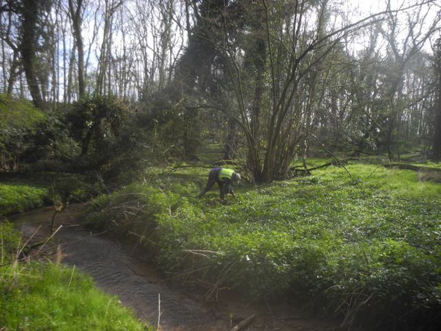
Peter in action with detector and spade.
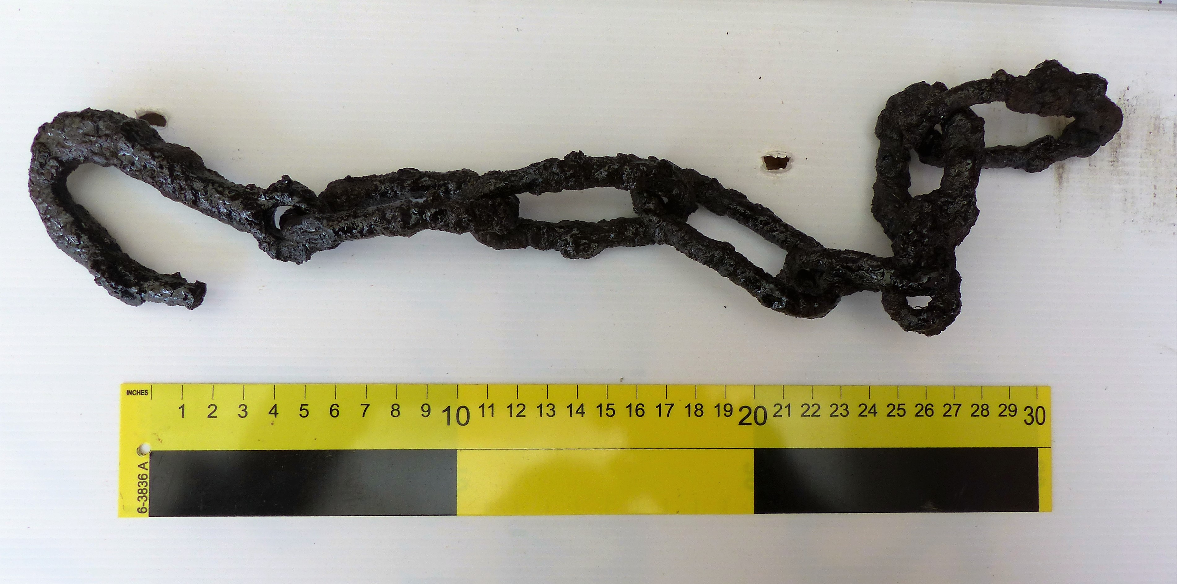
A typical product of his efforts a length of chain plus hook after cleaning and treatment with preservative.
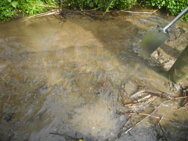
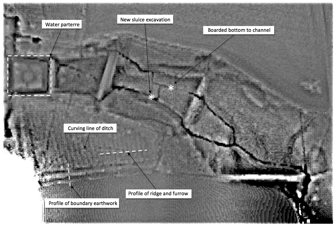
Hard to see I know but there are boards at the bottom of that there stream.
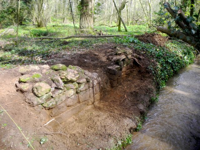
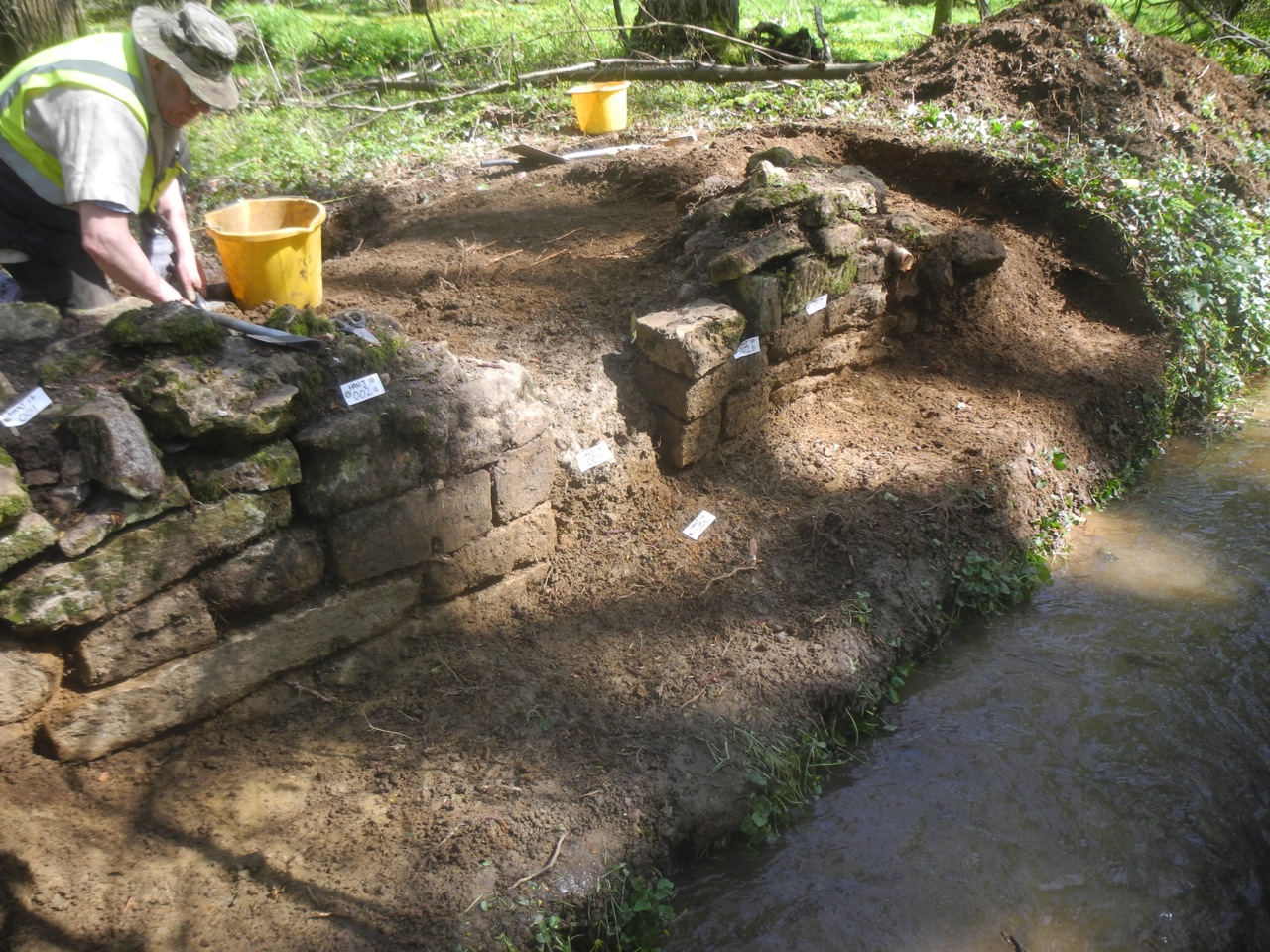
We had been aware of these few stones poking out above the bank but a couple of days of excavation revealed quite an elaborate structure...
which we are currently interpreting as a sluice.
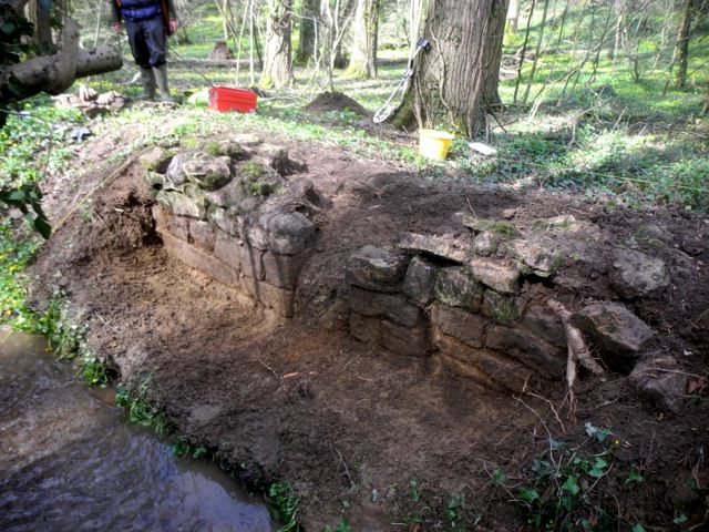
As the work
continued this quite small feature became increasingly complex. Peter
working on the western section of wall showed that there was a return
half way along the wall narrowing it as it approached the gap whilst at
the other end, just beyond the end of the wall was a layer of thin
ironstone slabs, remains of paving or a capping for the bank perhaps. Plenty more to do here.
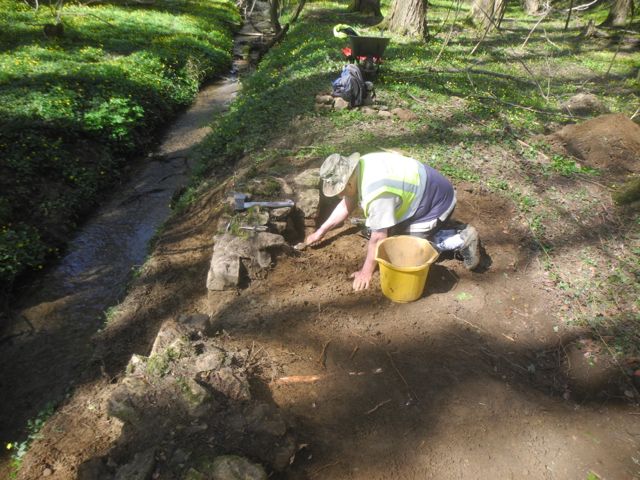
Views looking west, the built up corner of the return shows just behind Peter's trowel and at the other end stone slabs start to appear.
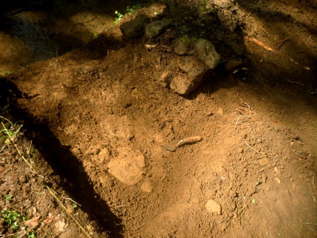
General view looking north east as some of the clay filling from the gaps starts to come out.
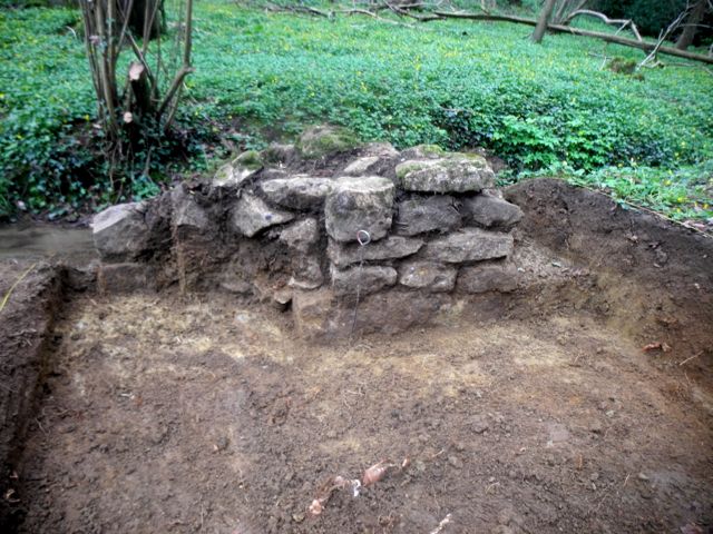
As the month
progressed this small corner of the park became increasingly complex.
the two stubs of walls showed a number of peculiar structural features,
the clay 'blocking turned into a clay backing for the wall and a rubble
bank appeared behind the east end of the wall and finds amounted to
zero. Lying behind this we have the possible line of ditch as hinted at
in the LIDAR (see above) and a deep deposit of darker loamy soil. One
day it will all make sense.
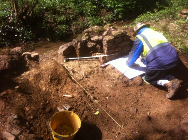
North face of the west end of the wall with clay backing. Similar view as we revel more of clay bank behind the walling and Peter completes the elevation drawing.
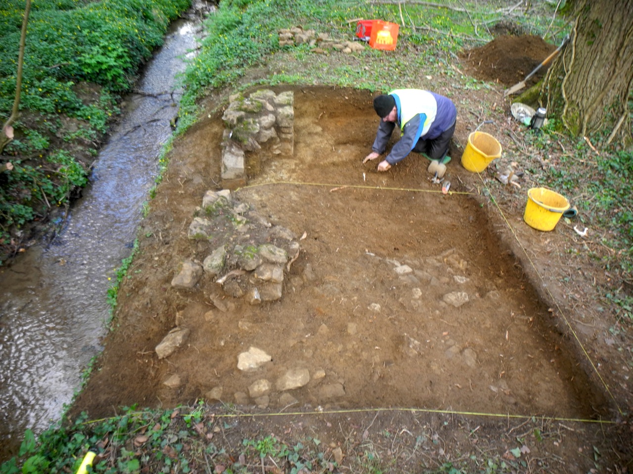
General view looking west: slabs and rubble bank in the foreground, centre line of possible ditch marked by yellow string.